Thematic Routes
“El Hierro trails, silent witnesses of history, saw bimbaches and conquerors, farmers and ranchers, civilians and tourists pass by, and they open doors and windows to a geography that never ceases to amaze us.” (Claudio J. Moreno Medida)
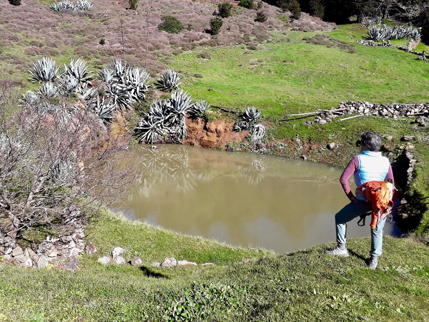
9 Km | Alt.: Max 1120, Min 544 | 4 h |  Low
Low
Past, present and future of the water in the island of El Hierro … from San Andrés, walking past El Garoé and its water tanks, the forest of Valverde, the Hidro-Eolic Plant … till the arrival at “La Villa”.
Meeting Point: Valverde 9.00
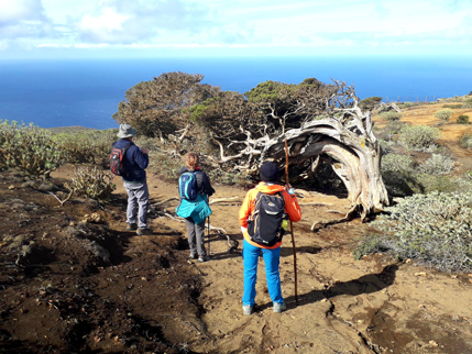
9 Km | Alt.: Max 886, Min 259 | 4 h |  Medium
Junipers with incredible forms shaped by the Trade Winds … walking from Sabinosa, passing by the Mirador de Bascos and the enchanted forest of Sabinar, … till the arrival at the Lomo Negro viewpoint.
Meeting Point: Tigaday 9.00
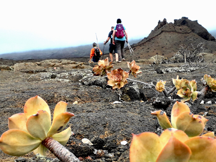
8 Km | Alt.: Max 851, Min 15 | 3 h |  Low
Low
A geological approach walking from El Pinar between vineyards and the volcanic cones forming the “Lajiales” lava flows, one of the most significant natural landscapes of the youngest island of the archipelago.
Meeting Point: El Pinar 9.00
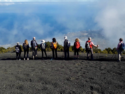
10 Km | Alt.: Max 1501, Min 977 | 4 h |  Medium
A walk between El Morcillo Hoya and Hoya del Pino, through forests of Canary Pine and Fayal Brezal and passing through the highest peak of the island, the Malpaso.
Meeting Point: Valverde 9.00
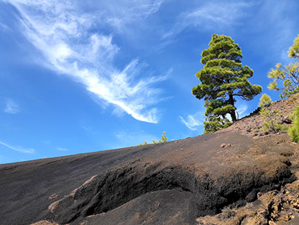
11 Km | Alt.: Max 1163, Min 837 | 4 h |  Medium
From the Tanajara Viewpoint overlooking the village of El Pinar, crossing the southern vineyards, we will go into the Canary Pine forest that dominates the southern slope of the island. This pine forest will reveal to us the link it has with the volcanic terrain, surprising us with what it hides in its heart and with exciting views from the highest points of our route.
Meeting Point: EL PINAR 9.00
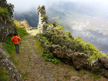
7,5 Km | Alt.: Max 1243, Min 393 | 4 h |  Medium
From San Andrés, the highest village on the island at 1050 mt, we cross the beautiful Nisdafe Plateau through the Land that Sounds, arriving at the Jinama Viewpoint where we begin our descent submerged in the Laurisilva forest and in the history of the traditional “Mudadas” until we arrive to the Church of La Candelaria in El Golfo.
Meeting Point: Valverde 9.00
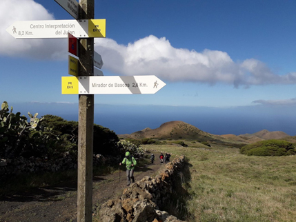
9 Km | Alt.: Max 954, Min 724 | 4 h |  Medium
Following the footsteps of the shepherds on the south western slope of the island with its amazing views and the mysterious history of Los Letreros, ending at the Sanctuary of the Virgen de Los Reyes.
Meeting Point: El Pinar 9.00
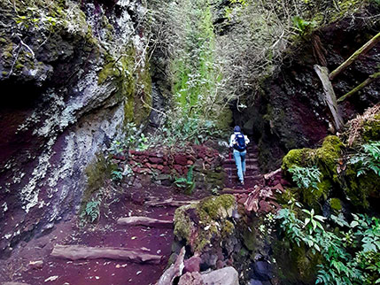
11 Km | Alt.: Max 1167, Min 307 | 4 h |  Medium
A “forest bathing” in the laurel forest of El Hierro … from Hoya del Pino, walking through the Monteverde and discovering the charm of Fuente de Mencáfete… ending in Sabinosa, the westernmost village in Spain.
Meeting Point: Tigaday 9.00
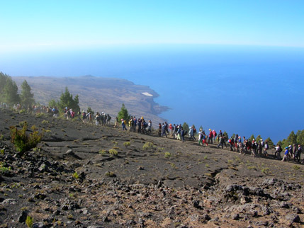
28 Km | Alt.: Max 1501, Min 544 | 9 h |  High
High
If you love hiking you must make the GR 131, the Camino de la Virgen de Los Reyes, and you will travel throughout the interior of the island of El Hierro.
The hike is 28 kilometers long, so it may take approximately 8 to 10 hours. The trail goes from the Sanctuary of the Virgen de Los Reyes to the island’s capital Valverde, from southwest to northeast across the entire center of the island.
This is the same path that the Virgen de los Reyes takes every four years at the Bajada de La Virgen, the most important holiday on the island of El Hierro. A pilgrimage and procession which originated in the mid-eighteenth century, when a severe drought ravaged the island.
Much of the old paths were opened by the shepherds precisely to drive cattle into the area where is located the Sanctuary of the Virgen de los Reyes. This totally depopulated area, called La Dehesa, is a sort of plateau that ends abruptly at sea and it is also famous for the forest of the savin junipers of El Hierro.
Whether you do the way starting from the Sanctuary or from Valverde, the beginning is always uphill, and in its halfway will come to the Pico de Malpaso. The highest point on the island, rising 1501 meters high above sea level, from where you can see the other western islands, La Gomera, Tenerife and La Palma.
The trail is well marked and it is in good condition. To that, we can add the religious charge and all the legends and stories of this path.
Quite a challenge and a fantastic opportunity to know El Hierro deeply.
The GR-131 Canaries Hike (European Path E7) is an itinerary that is developed in several islands of the archipelago; the stretch on the island of El Hierro is over 40 kilometers of length which are mostly matching the Camino de La Virgen.
The European Path E7 start in Serbia, and through Hungary, Croatia, Slovenia, Italy, France, Spain and Portugal, jumps to Madeira and Azores and from there gets the Canary Islands, with the GR 131.
Meeting Point: Valverde 8.00
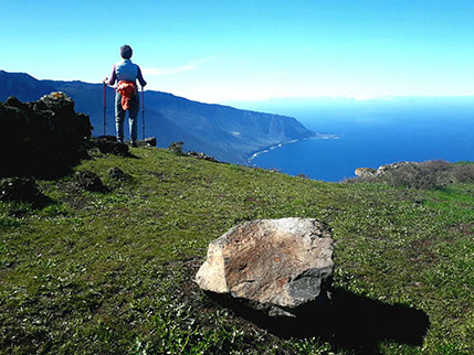
9 Km | Alt.: Max 1373, Min 838 | 4 h |  Medium
From the Mirador de La Llanía with its incredible views of El Golfo … discovering the enchanted forest … walking between hidden volcanoes and the pastures of the Nisdafe Plateau … until we reach the Mirador de Isora and its shocking views of Las Playas.
Meeting Point: VALVERDE 9.00
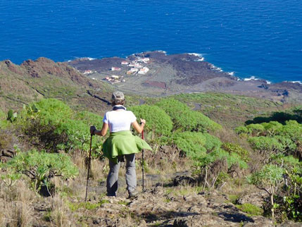
10,5 Km | Alt.: Max 1048, Min 27 | 4 h |  Medium
From the small hamlet of Tiñor surrounded by green forests … to San Andrés and the pastures of the Nisdafe Plateau … and going down following the lava flows of the Chamuscada to the hamlet and beach of Timijiraque.
Meeting Point: Valverde 9.00
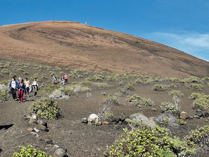
9 Km | Alt.: Max 551, Min 18 | 4 h |  Low
Low
A trail that develops on the north end of the island … from the small hamlet of El Mocanal, getting to Echedo surrounded by vineyards … through the lava flows of the Treasure Mountain … to the coastal village and the bathing area of Tamaduste.
Meeting Point: Valverde 9.00
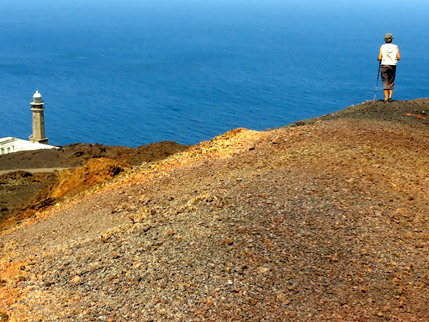
7 Km | Ascent/Descent +150 -450 | 3 hours |  Low
Low
Discovering the south western tip of the island: recent lava formations and volcanic cones, the history of the the Prime Meridian and the Orchilla Lighthouse and the visit to a volcanic tube!
Meeting Point: Tigaday 9.00
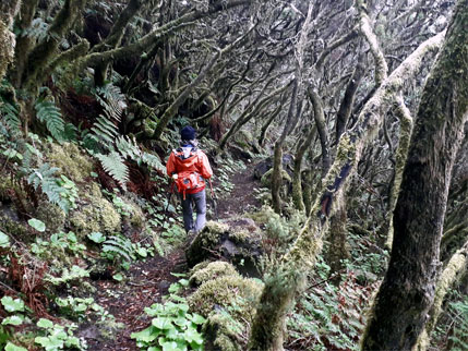
9 Km | Ascent/Descent +200 -1100 | 5 hours |  Medium/High
Immersed in enchanted forests of Laurisilva … still hearing the echos of ancient herds, witch covens, nights of Coalmen … from La Llanía to the Tigaday vineyards and the Candelaria Church.

